Land Surveying
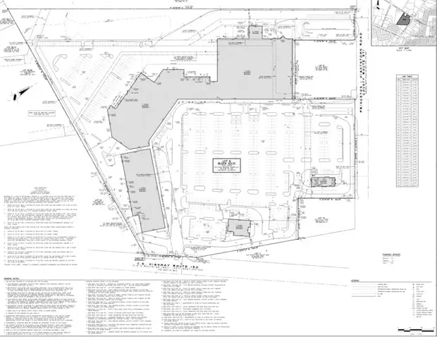
ALTA / NSPS Land Title Survey
An ALTA/NSPS Land title survey is a thorough and standardized survey conducted by a licensed surveyor following guidelines from the American Land Title Association (ALTA) and the National Society of Professional Surveyors (NSPS). This survey provides a detailed analysis and documentation of property boundaries, easements, encroachments, and other important elements related to the property's title. It involves reviewing public records, title documents, and surveys to ensure accurate and reliable information for title insurance purposes and real estate transactions. The ALTA/NSPS title survey is widely used in commercial real estate to provide a high level of assurance regarding the property's ownership and any encumbrances.
Boundary and Location Surveys
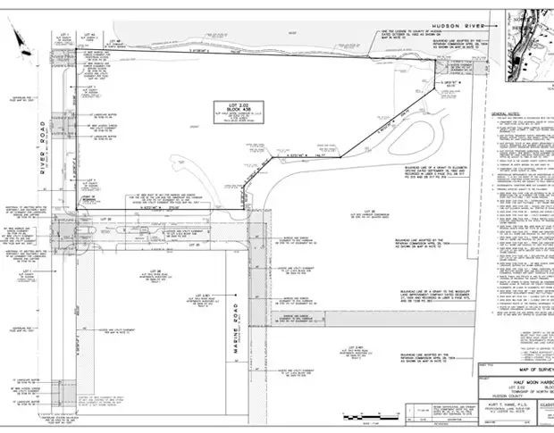
A boundary and location survey is a thorough examination and measurement of property lines and physical features to establish and verify the boundaries of a piece of land. This survey involves analyzing legal documents, historical records, and physical evidence on-site to determine the exact location and extent of the property. The surveyor identifies and marks the corners and boundary lines, measures distances and angles, and creates a precise survey map or report that shows the property boundaries. This survey is conducted to provide clarity and legal certainty regarding land ownership and to support different land-related transactions and development activities.
Topographic Survey
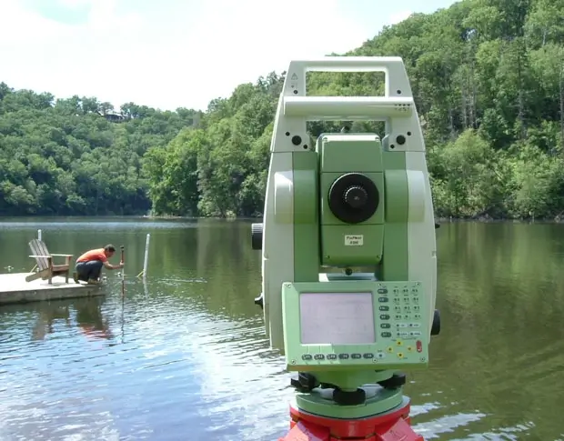
A topographic survey is a detailed and precise mapping of the physical characteristics and elevations of a specific land area. It involves measuring and documenting the contours, slopes, vegetation, structures, and other important features of the terrain. Specialized equipment like total stations and GPS is used to gather accurate data points. The resulting topographic map provides a comprehensive representation of the land's surface, which is valuable for making informed decisions in fields like engineering, construction, land development, and environmental assessment.

Wetland Survey
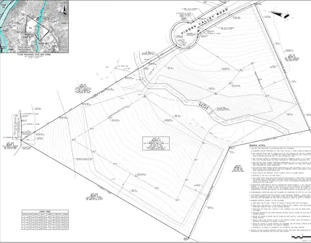
A topographic survey is a detailed and precise mapping of the physical characteristics and elevations of a specific land area. It involves measuring and documenting the contours, slopes, vegetation, structures, and other important features of the terrain. Specialized equipment like total stations and GPS is used to gather accurate data points. The resulting topographic map provides a comprehensive representation of the land's surface, which is valuable for making informed decisions in fields like engineering, construction, land development, and environmental assessment.
Riparian Survey
A riparian survey is a specialized survey conducted along the banks or boundaries of rivers, streams, or other bodies of water. It involves assessing and documenting the location and extent of riparian zones, which are the areas between land and water. The survey includes measurements and observations of vegetation, water levels, erosion, and other features in the riparian area. Riparian surveys help establish boundaries, assess environmental conditions, monitor changes, and support land management and development activities in these ecologically important zones.
Route and Control Surveys
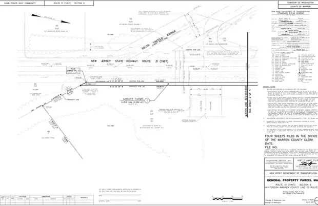
Route and control surveys are conducted to establish the exact alignment, elevation, and position of linear features like roads, pipelines, transmission lines, or railway tracks. These surveys involve measuring and documenting key control points and reference markers along the proposed route. Route surveys aid in planning and design by providing accurate data for alignment decisions, assessing terrain conditions, and identifying potential challenges. Control surveys establish a network of accurately surveyed points to ensure proper alignment and construction of linear infrastructure projects. These surveys play a crucial role in guiding the development and maintenance of linear features with precision.
Construction Layout
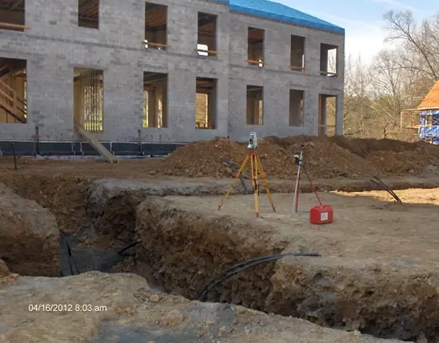
Construction layout is the process of translating design plans and specifications of a construction project onto the actual site. Surveyors use precise measurements and markings to establish the positions, dimensions, and alignments of structures, utilities, roads, and other project components on the ground. This ensures that the construction team accurately follows the design intent, allowing for proper placement and alignment during the construction process. Construction layout is essential for achieving accuracy, efficiency, and adherence to the project's design and specifications.
